Tenth Anniversary of the HRRR in Operations

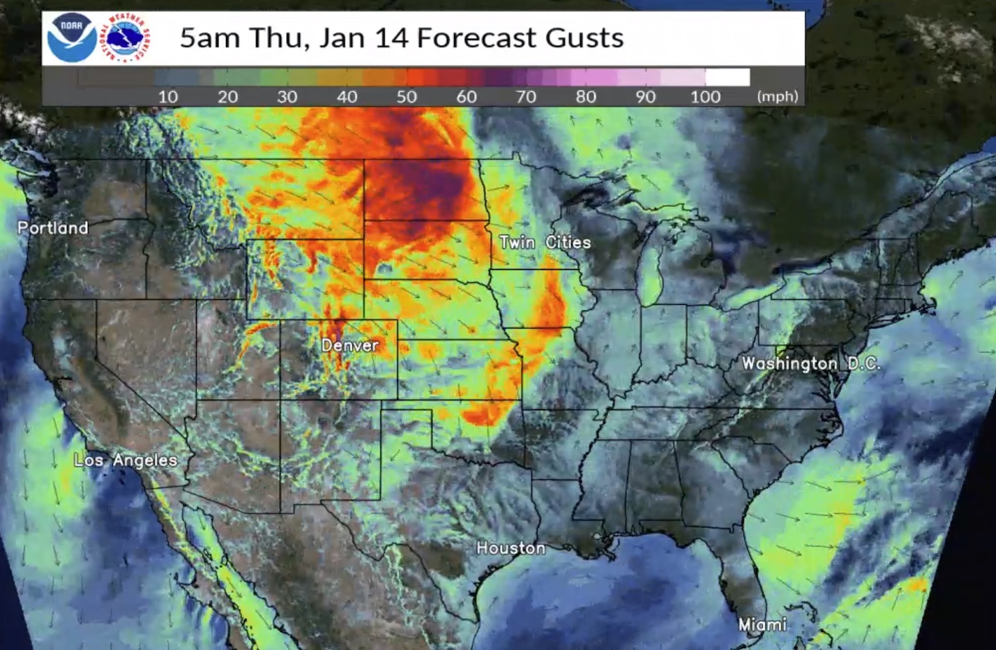
From its inception as an experiment to improve forecasts for aviation, GSL is thrilled to celebrate the 10th anniversary of the pioneering High-Resolution Rapid Refresh (HRRR) weather model’s transition to NOAA National Weather Service (NWS) operations. Since September 30, 2014, GSL has delivered four major upgrades to the HRRR model, with the final version delivered to the NWS on December 2, 2020.

The HRRR-Smoke capability has received prominent national exposure as the go-to for forecasters, public health officials, emergency operations and wildland firefighting managers to visualize the extent and spread of wildfire smoke across the country during fire season.
How did one model advance so many different kinds of forecasts?
First, a review: The HRRR updates forecasts hourly over the entire lower 48 United States at a resolution of three kilometers (less than two miles). That works out to nearly two million surface grid points. The HRRR also predicts the weather at 50 different elevations above each gridpoint.
It took breakthroughs in three main areas to create the world’s most accurate high-resolution continental scale model. Scientists leveraged the latest supercomputing and graphical processing technologies, and developed techniques to assimilate a mountain of new weather data and observations from radar, satellites and aircraft. These advances, plus improved model physics, culminated in a model that produces a much more accurate and comprehensive representation of the atmosphere.
Here are a few of notable HRRR research efforts:- HRRR-Smoke: The HRRR ingests fire radiative power data from a number of polar-orbiting NOAA and NASA satellites to calculate fire size and biomass burning emissions, and predicts the height of smoke plumes and their subsequent spread. Referred to as HRRR-smoke, this previously experimental capability is now included in the operational HRRR.
- Lake-effect snow: Feeding temperature and ice data from a research version of the HRRR into the Great Lakes Operational Forecast System was shown to improve the accuracy when predicting notoriously variable – and prodigious – lake-effect snows.
- AQPI: The Advanced Quantitative Precipitation Information system uses a network of advanced radars to feed the HRRR forecasting system that is coupled to runoff and coastal flooding models. AQPI helps provide better forecast guidance to California’s Bay Area decision-makers when potent atmospheric rivers come ashore. The HRRR is a foundational element of the new decision support system, which will improve precipitation forecasts and real-time estimates needed by officials responsible for responding to large rain events.
- Wind forecast improvement: Researchers collected 18 months of data to better understand how terrain and weather interactions affect wind speed and turbulence at the height of wind turbines. Researchers used their results to improve the representation of low-level winds in the HRRR. The upgrades to the low-level wind model forecasts improved wind energy forecasts by 15-25 percent (as reported by wind energy firms), as well as daily wind forecasts for the entire country.
The Rapid Refresh Forecast System (RRFS) is the next generation of the HRRR model in development by GSL and others in NOAA. RRFS serves as the foundation for NOAA’s advanced regional, convection-allowing model in the Unified Forecast System.
